WHY CHOOSE UNMANNED VISUALS?
Our mission is to provide our clients with the highest quality aerial imagery, data analysis, and content creation using industry leading technology at an affordable price. Looking to make your projects soar? Our insured, FAA certified Drone Pilot has years of experience in flying drones, custom content development, and data analytics. Let us create a compelling visual story for your business or project as we work with you to accomplish your business objectives and make your vision a reality. Every project is unique and all of our services are tailored to fit your needs.
Get premium quality aerial photos, videos, maps, and data
PHOTOS

VIDEOS

CUSTOM CONTENT

ELEVATION MODELS

ORTHOMOSAICS
2D & 3D MODELS
MEASUREMENTS

Plant Health

WE USE ADVANCED TOOLS TO GIVE YOU UNPARALLELED RESULTS


WE PROVIDE THE MOST ON-DEMAND SERVICES IN THE INDUSTRY
Wedding Events
Corporate Events
Travel and Tourism
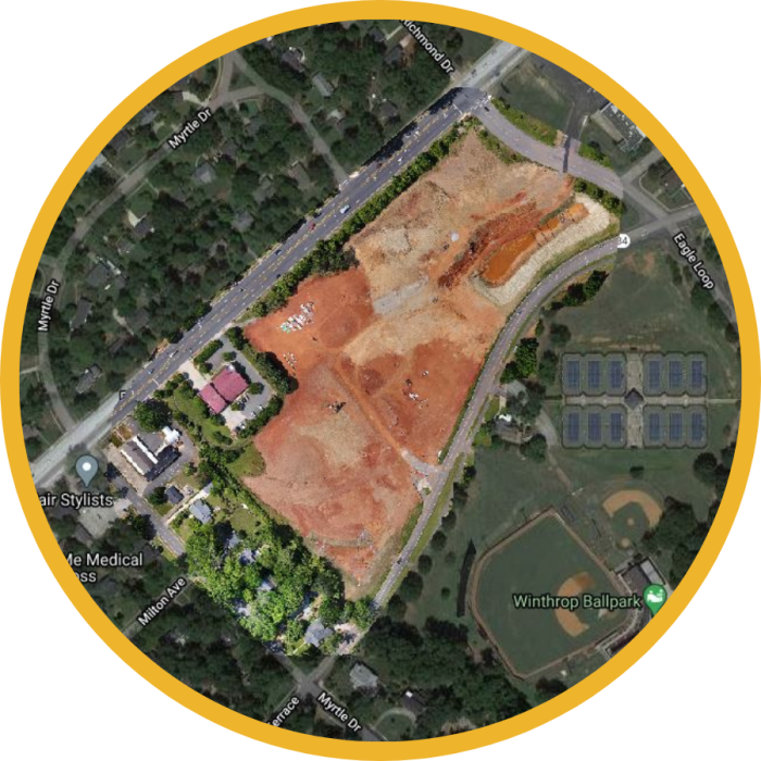
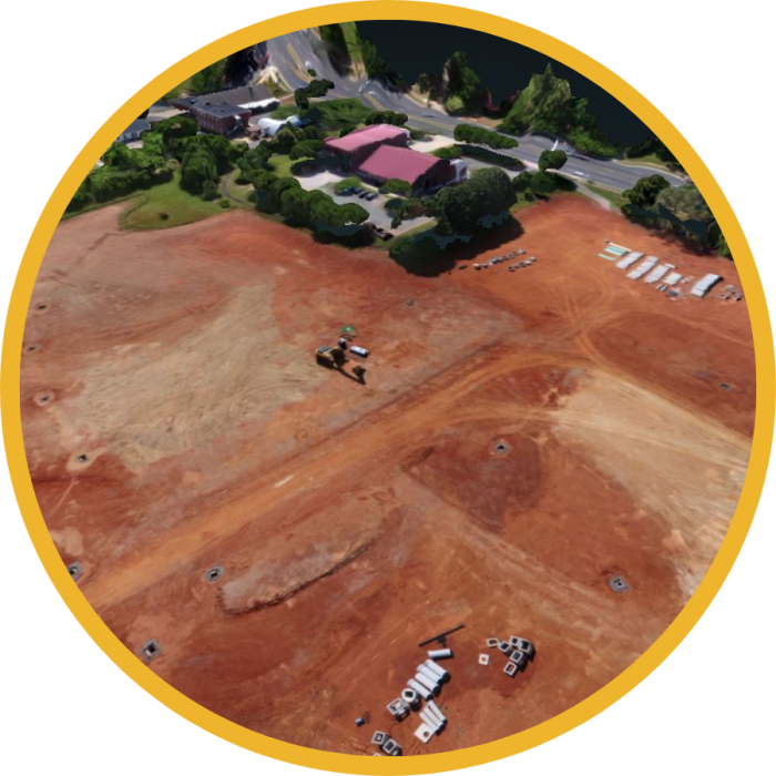
Construction Progress
Journalism and Film Photography
Corporate Aerial Videos
Search and Rescue
Traffic Planning
Property Tours
2D & 3D Mapping
Inventory Management
Dealership Advertising
Solar Panel Inspections
Insurance Claims Inspections
Wind Turbine Inspections
City Center Redesigns
Grand Openings
Stock Photos
Visual Marketing
Roof Inspections
Disaster Management
Building Safety Inspections
Infrastructure and Compliance
Precision Crop Monitoring
Transport Inspection
Ecosystem Research
Storm Research
Unmanned Visuals is a division of Felts Industries, LLC